
Features Bearing (Azimuth) Navigation
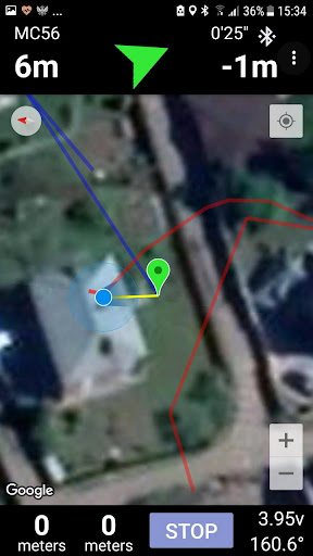
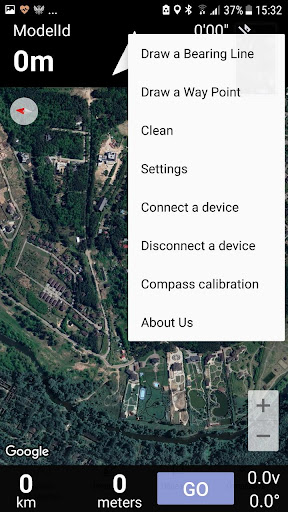
This app provides two modes: Azimuth and GPS tracker.Azimuth mode.Allows you to navigate according to a given bearing (azimuth).You create the bearing line on the map and start walking.
You also see your walking path.
The bearing lines are created according to North Magnetic Pole.
The features are: - draw waypoints on the map - the map storages in the cache memory, so offline mode for the app is possible- draw bearing line from the current location or waypoint location- display your distances from the beginning and from the end of bearing line- display your deflection from the bearing- share bearing lines and waypoints via messaging capability applicationsGPS tracker mode.Allows you to work together with MTK electronic system for aircraft models and navigate directly to the model.
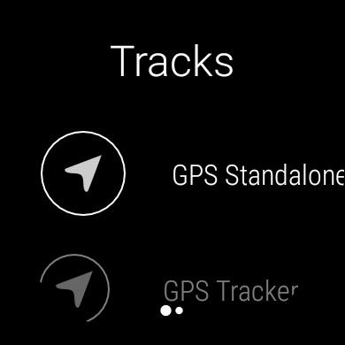
The features are:- display all distances, altitude, flight time and other information- possibility to select aircraft model for navigation- multiuser mode- possibility to use smart watch together or instead (standalone) smartphone- possibility to use all functions of the azimuth mode as well- the manual: https://drive.google.com/open?id=1lei7q90cyQ5pxQtcO7DKaQoSchPn_jBNIn addition we also provide this experience at your wrist with Wear OS module that enables you to use most features mentioned above !All your proposals and comments are welcome!
Social Features
Connect and share with friends and the community.
Gaming Features
Enjoy immersive gaming experience with various game modes.
Fitness Tracking
Track your workouts and monitor your health metrics.
See the Bearing (Azimuth) Navigation in Action
Get the App Today
Available for Android 8.0 and above